- 28th Earthquake Safety Day to be observed with the slogan:
- 9th Asia Conference on Earthquake Engineering (9ACEE)
- Strengthening Resilient and Green Education: Equipment Handover for Safer, Sustainable Schools in Kirtipur and Lalitpur
- Climate Change and Environmental Awareness Campaign held in Mahalaxmi Municipality
- Resource-person development program held focused on comprehensive school safety (CSS) including climate change and green school concepts
- International Symposium on Earthquake Risk Reduction in Himalayan Region held in Kathmandu
- Nepal commemorates 27th Earthquake Safety Day with the slogan: "Lessons from the Past Earthquakes: Resilient Structures and Better Preparedness!"
- USAID supports education system restoration in Jajarkot and Rukum West
- Symposium on “Lumbini’s Path to Disaster Resilience and Tomorrow’s Rapti” concludes with “Rapti Declaration 2024”
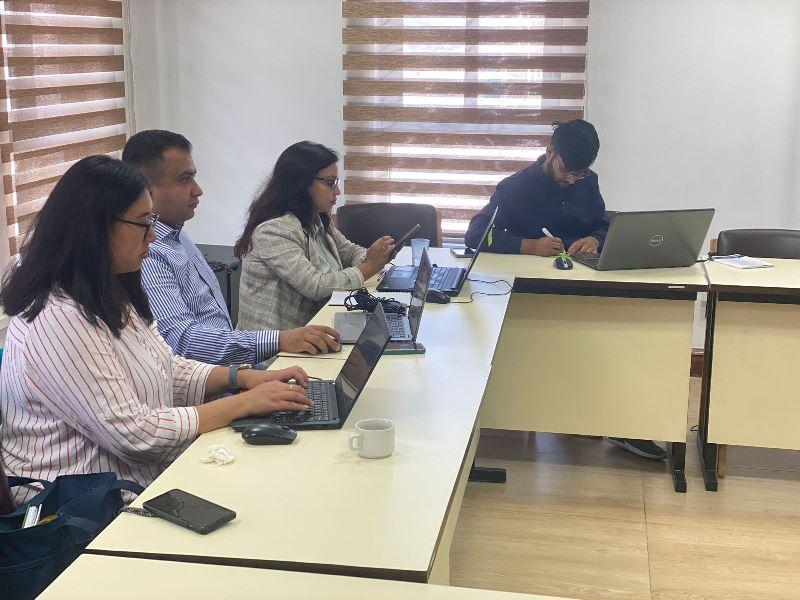
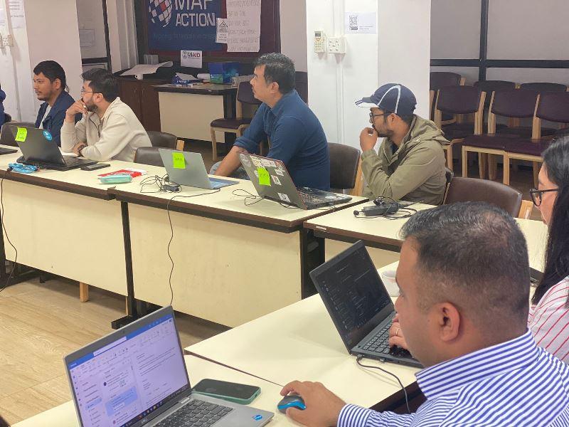
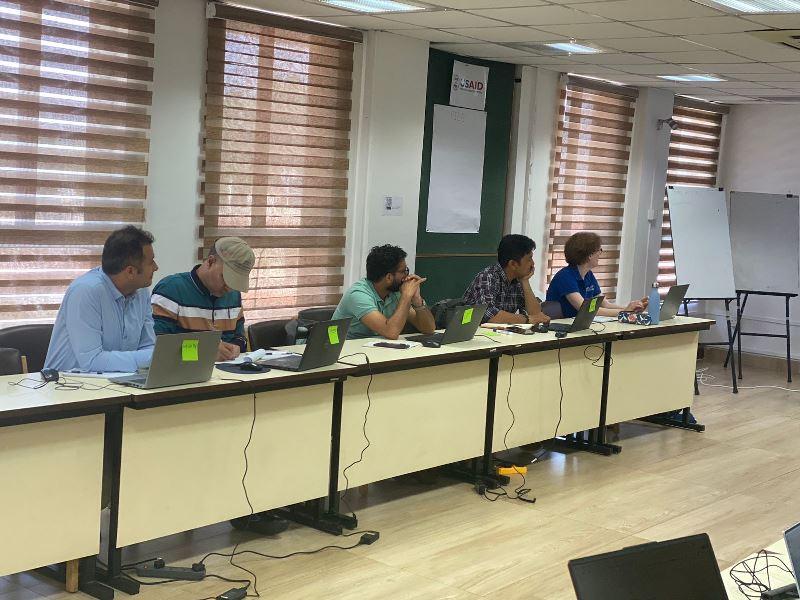
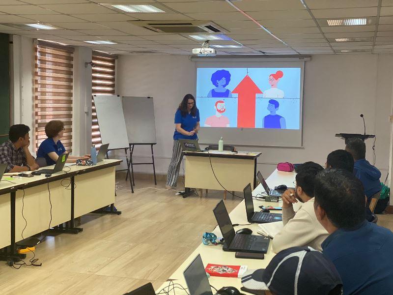
- Geospatial Information Management Workshop is underway at NSET
- View all
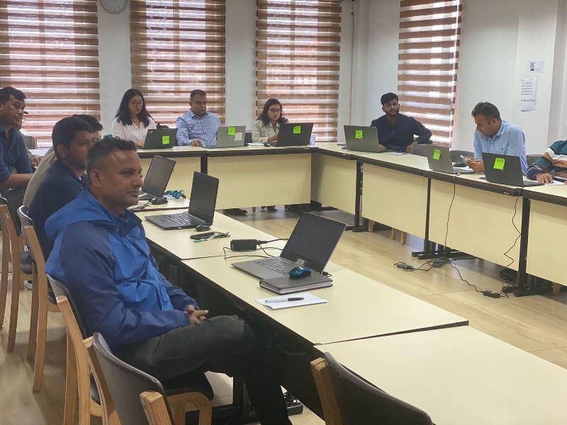
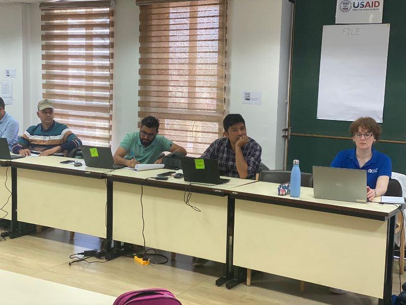
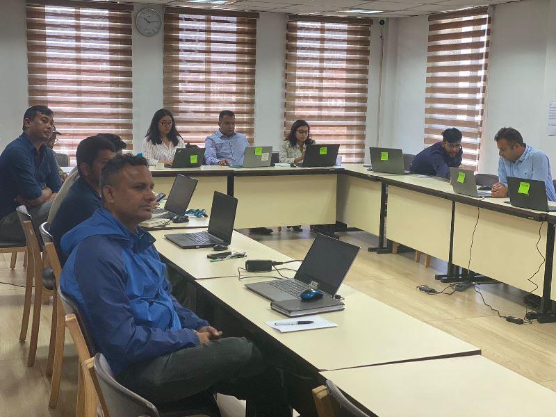
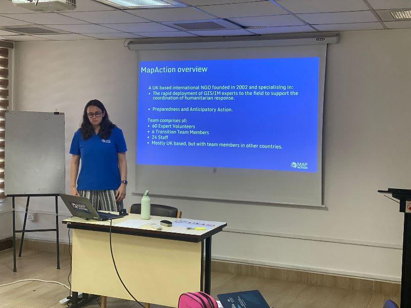
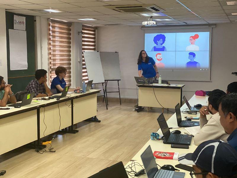
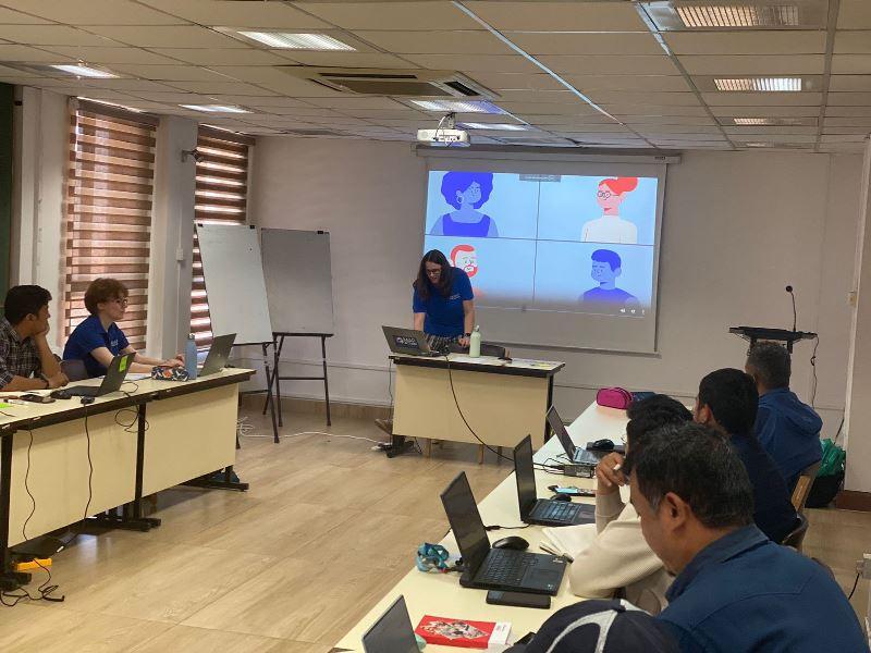
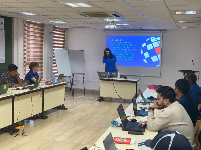
Geospatial Information Management Workshop is underway at NSET
A five-day Geospatial Information Management Workshop is currently taking place at NSET, starting from October 22, 2024. A total of 15 participants, including geologists, geomatics engineers, geographers, and other experts working in the field of disaster management in Nepal, are attending the workshop.
The workshop is jointly organized by Map Action and NSET with the support of USAID's Bureau for Humanitarian Assistance (BHA). The main objectives of the workshop are to enhance participants' data management skills for more effective emergency preparedness and response, improve the capacity to produce and use 3W maps for better coordination during emergencies, and showcase organizational activities. Additionally, it aims to provide expert support on specific challenges related to data management, flood and 3W mapping, and enable access to accurate secondary data to create flood extent maps for guiding emergency responses.
Gallery